
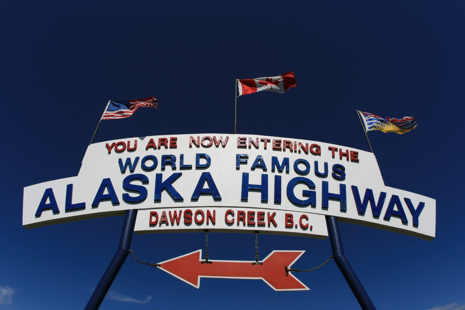
The Alaska Highway starts at Mile 0 in Dawson Creek, built in 1942 as a wartime supply route to Alaska after Pearl Harbor — though history proved the highway itself moved less than 1% of wartime cargo, since the US Army shipped 99% of Alaska-bound supplies by sea instead. Today it still carries freight, just not for the reason it was built. The 76 km stretch north to Fort St. John on Highway 97 is BC’s only provincially maintained piece of the Alaska Highway system, and it’s the spine connecting the Peace Region’s two largest towns.
What Actually Ships on This Stretch
The Peace Region produces almost 90% of BC’s grain and 95% of the province’s canola, plus 90% of its dry field peas, according to the City of Dawson Creek’s own agriculture data. A combine or grain auger down during the September harvest window doesn’t wait for a parts counter to open Monday morning — every day a header sits broken is a day of standing crop exposed to frost or rain. The same corridor carries freight for the Peace Region’s oil and gas sites and for Site C, now in its operations-and-maintenance phase after reaching full generation in August 2025.
Why a Half-Ton Handles This Route Better Than a Semi
Highway 97 through the Peace Region isn’t a mountain pass, but it’s flat, open prairie country where a ground blizzard can drop visibility to a few metres in minutes and pack snow into ice on the roadway faster than a plow can clear it. A loaded semi caught in a whiteout between Dawson Creek and Fort St. John has nowhere to pull off on an unlit stretch. A 4×4 half-ton on winter-rated tires reads that road differently — better control on the ice pack, and a driver who checks DriveBC before every run instead of finding out about a closure at the roadblock.
Dispatched From the Lower Mainland, Not the Peace Region
Canyon Runner Hotshot doesn’t stage a truck in Fort St. John or Dawson Creek waiting for the next call — every run up here dispatches out of the Lower Mainland, covering the same roughly 1,220 km push north on Highway 97 before splitting onto the Alaska Highway’s 76 km run between Dawson Creek and Fort St. John. That’s a long way to send a truck for a broken auger bearing, and it’s exactly why the call goes to one dedicated driver instead of a courier network that won’t touch a same-day run this far north.
A combine sitting idle during a three-week harvest window, a rig floor waiting on a part, a grain elevator with a jammed leg during peak intake — none of it waits for regular business hours. Canyon Runner Hotshot runs the push north the same way every time: one truck, one load, dispatched from the Lower Mainland the moment the call comes in.
Thumbnail photo: Alaska Highway sign, Dawson Creek, by Will Elmore, via Wikimedia Commons, released into the public domain.
Related Reading
- Wellsite Down in the Peace Region: Inside a Direct-Drive Emergency Parts Run from the Lower Mainland
- Highway 16 Realities: Running the Yellowhead Between Prince George and the Alberta Border
- Zero-Stop, Direct-Drive: Why Procurement Managers in Calgary and Edmonton Are Switching to Hotshot for Small Freight