



Description
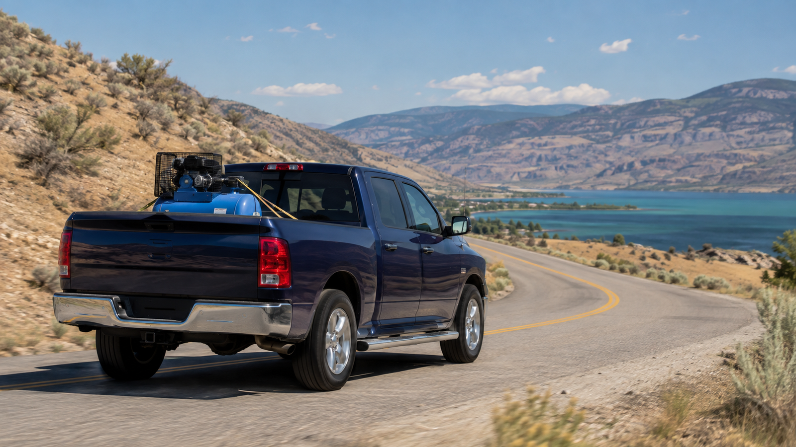
What’s included: $2,800 flat truck rate covers fuel and deadhead, size/weight limits (800 lbs, 5’7″ bed, 60″ height max — larger loads require the trailer at $3,500), layover ($375) and detention ($140/hr — 30 min free at pickup, 30 min free at drop-off, tracked separately) apply on top if triggered.
The run from Vancouver
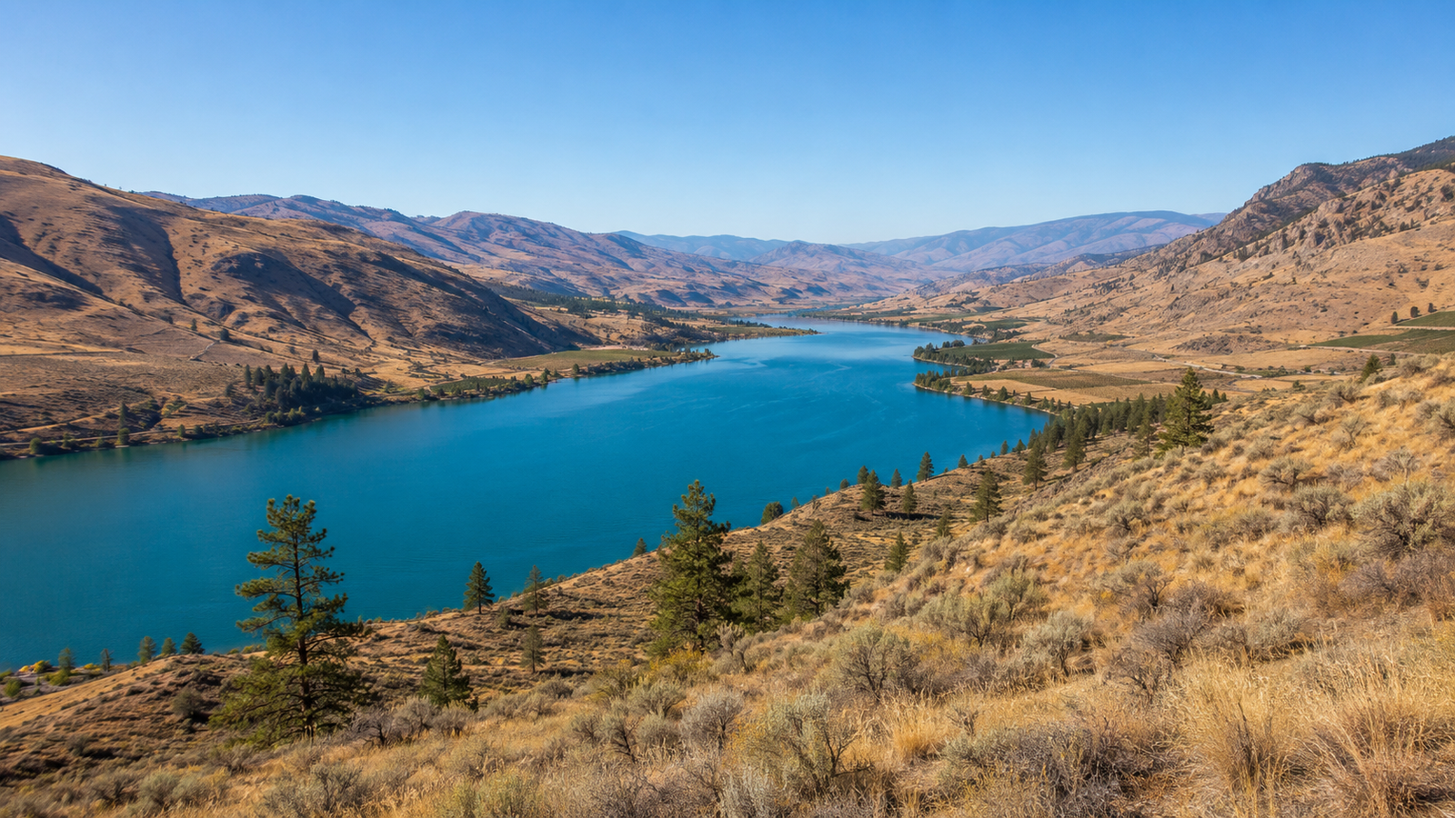
Osoyoos is about 397 km out, roughly 4.5 to 5 hours, and it is the one Okanagan hub that does not use the Coquihalla. The route runs Highway 1 to Hope, then Highway 3 east the whole way — 247 km from Hope to Osoyoos, broken into 134 km to Princeton, 67 km to Keremeos and 46 km down to the lake. The grades that matter are Allison Pass at 1,342 m and Sunday Summit at 1,284 m, both through Manning Park and both higher than the Coquihalla Summit. Anarchist Mountain is often assumed to be part of this run; it is not. Anarchist sits about 10 km east of town, and you only climb it continuing toward Rock Creek and the Kootenays — roughly 17 km of climbing at a 4.8% average. The valley alternative, up the Connector to Kelowna and down Highway 97, is longer but useful when Highway 3 closes through Manning.
What moves here
The Osoyoos Indian Band is the largest economic operator in the area and the most freight-relevant. Its holdings manage over 32,000 acres of commercial and industrial land across thirteen business lines, including Senkulmen Business Park, Oliver Readi-Mix concrete and aggregate, and Nk’Mip Forestry, with group revenues up 70% to $28.2 million over six years and local unemployment under 3%. Around that sits tree fruit and vineyard agriculture, increasingly converted from orchard to grape. The town is 3.6 km north of a 24-hour border crossing into Washington, with a joint inspection station built in 2003. Note that BC Tree Fruits closed the Osoyoos packinghouse in 2017 after about 80 years, and the parent co-operative collapsed entirely in 2024 — packing capacity has consolidated toward Oliver. The town counted 5,556 people in 2021 and about 5,724 by the 2025 estimate, on a municipal footprint of only 8.4 km², so the working area is much larger than the town.
Scales and seasonal limits
The nearest inspection station is Kaleden, north of here on the Highway 97 corridor below Penticton; Castlegar covers Highway 3 further east. BC posts spring load restrictions as a percentage of legal axle loading — 100%, 70% or 50% — applied only above 5,500 kg licensed GVW. The South Okanagan service area lifted its 2026 restrictions on 7 May. Winter tires or chains are required on Highway 3 from 1 October to 30 April.
Local fun fact
The farmland here exists because of a canal. In 1918 the province bought 22,000 acres to turn South Okanagan desert into farms for returning soldiers. Construction started in 1919 with 100 to 150 workers, reached Testalinda Creek in 1923 and finished in 1927 — 37 km long, 40 km of it concrete-lined, running from the bluff to the US border. It watered roughly 8,000 acres on each side of the Okanagan River, and it still serves about 5,200 acres of farmland today.
Reviews
There are no reviews yet.