
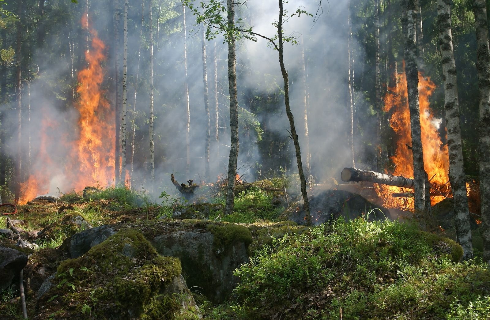
Highway 1 is closed. Highway 3 and Highway 97 are open but running under active wildfire restrictions. All three are pushing detour traffic onto the Coq — Canyon Runner Hotshot’s daily route. Here’s where things stand as of August 16, 2026, and where to check real-time status before you dispatch or drive.

Current Highway Closures Across the BC Interior (Updated August 16, 2026)
Highway 1 (Trans-Canada) is closed between Toll Road at Yale and Aspen Road just south of Boston Bar, and has been since July 16. The Ainslie Creek fire driving that closure was mapped at 64,674 hectares on August 15 and is still showing growth on its southwest flank. Evacuation orders are active nearby. With Highway 1 out, the Coquihalla (Highway 5) is currently the only major route connecting the Lower Mainland to the Interior, so expect heavier traffic and active construction zones. Build in extra time and watch for traffic control personnel.
The Coquihalla is not a safe assumption either. On August 13 the Ainslie Creek fire’s southern flank was reported within 8 km of Highway 5 near Juliet Creek, and evacuation alerts cover properties along the highway from Juliet Drive south to the Britton Creek rest area, including the Coquihalla Summit area. The province has said the route could close suddenly and with little to no notice. Price a second option before you dispatch, rather than choosing one after the closure posts.
Highway 3 (Hope-Princeton) is reopened on July 24 after its own wildfire closure and is running single-lane alternating traffic through the fire zone — an 80 km/h restriction is in effect, with no stopping in the wildfire zone. It’s still passable, but the slowdown is funneling more traffic onto the Coq.
Further north in the Okanagan, wildfire activity closed Highway 97 at two separate points this month — the Bradley Creek fire near the north end of Okanagan Lake, and the Bald Range fire between Summerland and Peachland. Both sections are back open, but under active restrictions: a 60 km/h no-stopping zone near Head of the Lake Rd and Grandview Flats Rd, and 7 a.m.-to-7 p.m. traffic hours with no stopping through Summerland. If your route runs through Vernon, Kelowna, Peachland, Summerland, or Penticton, check current status before you commit to Highway 97 — conditions there have been changing by the hour.
Alberta Corridors: Calmer for Now, But Stay Alert
As of our last check, the Peace River Forest Area, which covers routes into Grande Prairie, Fort St. John, and Dawson Creek, has no active wildfires and only a moderate danger rating thanks to recent rain. That can change quickly in August, so treat this as a snapshot rather than a guarantee, and confirm current conditions before you dispatch or drive.
Check These Official Sources Before You Head Out (or Dispatch a Load)
News coverage and social media move fast, but they aren’t always current by the time you’re behind the wheel. These are the official channels our dispatch team checks first:
- DriveBC – real-time highway closures, construction, and travel advisories for British Columbia
- BC Wildfire Service Dashboard – current fire locations, size, and status
- Emergency Info BC – active evacuation orders and alerts by region
- Alberta 511 – road conditions and closures across Alberta
- Alberta Wildfire Status Dashboard – active fires and danger ratings
- Alberta Emergency Alert – official evacuation and emergency notifications
What Wildfire Season Means for Time-Critical Freight
Hotshot trucking exists for the loads that can’t wait: a broken-down piece of equipment on a job site, an oilfield part needed by morning, a component holding up an entire production line. Wildfire season adds a real variable to that promise. A closed highway can turn a same-day run into an overnight one. Right now, with Highway 1 closed and Highway 3 down to single-lane alternating traffic, the Coq is carrying detour traffic it wasn’t built for — a normal 90-minute run from Hope to Merritt can stretch past four hours once you add traffic-control stops and bumper-to-bumper diversion traffic at Box Canyon.
This is where a smaller, single-load carrier has an edge over a scheduled network: we can reroute a load the moment a highway closes, without waiting on a terminal schedule or a consolidated trailer. Our dispatch checks DriveBC and the BC Wildfire Service dashboard before every corridor run this time of year, and we build realistic transit windows instead of promising a time we can’t guarantee once smoke or a closure enters the picture.
What a Wildfire Detour Costs the Shipper
Accessorial Charges
A closure that adds hours to a run doesn’t just delay delivery — it shows up on the invoice. Detention runs $140 an hour once you’re past the 30-minute grace period at that stop — pickup and delivery each get their own 30 minutes, tracked separately. A closure that forces an overnight stop triggers our flat $375 layover rate. If the delay keeps your load from being ready or picked up at all, expect a dry run charge on top. These are real carrier costs from a real closure, not padding.
Cargo Protection
Wildfire season means heat, not freeze, but the risk to sensitive freight is the same shape: extended time inside a hot trailer. A load that would clear the Coq in 90 minutes on a normal day can sit exposed to August heat for most of an afternoon in a detour. If your freight is heat-sensitive, ask about a temperature-controlled unit before you book, not after the truck is already stuck in traffic.
Carrier Selection
Confirm your carrier checks DriveBC and the BC Wildfire Service dashboard before every dispatch, not just when a customer asks. Confirm they can reroute a load mid-transit without waiting on a terminal schedule or a consolidated trailer. A carrier running on yesterday’s road conditions is the one that drives a loaded truck straight into an evacuation zone.
If you’re shipping through the Interior, the Kootenays, the Okanagan, or the Peace region this month, a few things help us move your load faster: flexibility on pickup and delivery windows, a phone number where you can be reached if a route changes mid-transit, and letting us know up front if the freight is genuinely time-critical so we can plan the safest fast route rather than just the shortest one.
Safety Tips If You’re Traveling These Corridors Right Now
- Check DriveBC and the BC Wildfire Service dashboard before you leave, not just once you’re already on the highway.
- Keep your fuel tank at least half full; some detour routes have fewer fuel stops.
- Follow official evacuation orders and alerts immediately, and don’t wait for a second warning.
- If air quality is poor, limit time outdoors and set vehicle vents to recirculate.
- Have a backup route in mind before you go; GPS apps don’t always reflect closures in real time.
We’re Watching These Routes So You Don’t Have To
Conditions across BC and Alberta’s highway network can change within hours during wildfire season, so treat the specifics above as a snapshot from August 16, 2026, and always confirm current status through the official links before you travel or dispatch a load. If you’ve got a time-critical shipment moving through any of these corridors, contact Canyon Runner Hotshot. Our dispatch team tracks these routes daily and will give you a realistic, honest transit plan before your freight ever leaves the yard.
Share this update: X / Twitter | Facebook | LinkedIn | Email
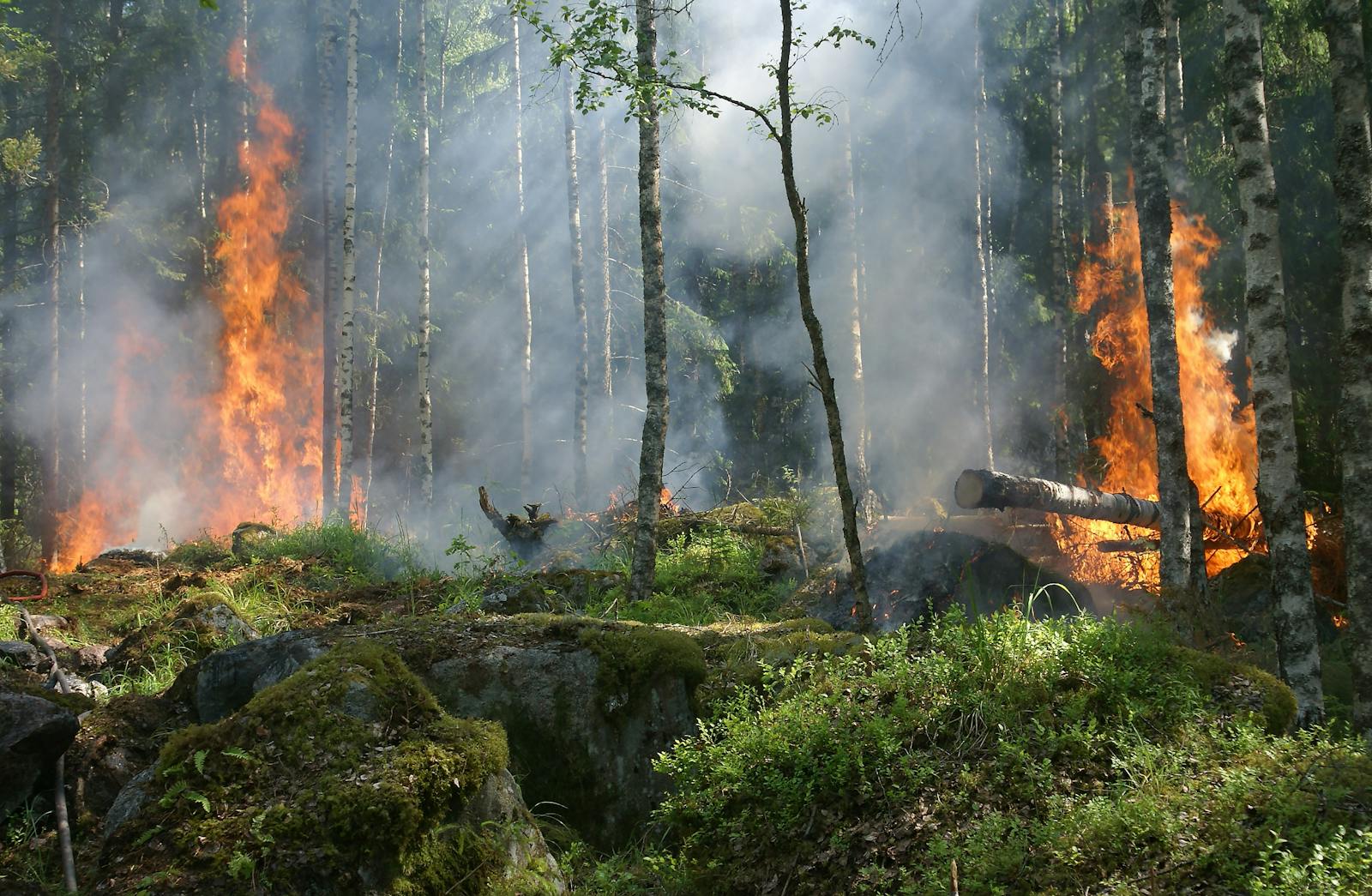
Thumbnail photo: “Forest on Fire” by Pixabay, via Pexels, used under the Pexels License (free for commercial use).