
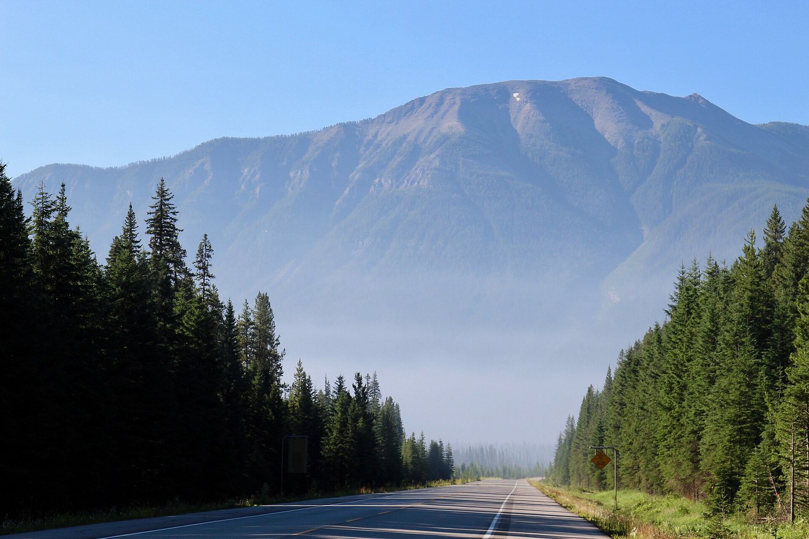
Wildfire smoke closes more highway than flame does. A fire burning 40 kilometres from the nearest lane can still drop visibility on the Coquihalla, the Fraser Canyon stretch of Highway 1, or Highway 97 to a few hundred metres, and that alone is enough for the Ministry of Transportation to slow traffic, run a pilot car, or shut the route outright. Shippers who plan around “if a wildfire closes the highway” instead of “when smoke slows the highway” are planning around the wrong risk.
This is not a one-year problem. British Columbia’s worst wildfire season on record was 2023, when more than 2.84 million hectares burned across the province, double the previous record of 1.35 million hectares set in 2018. Every one of those seasons put smoke over the same handful of freight corridors that carry Canyon Runner’s loads between the Lower Mainland and the Interior. Fire location changes year to year. The corridors it hits do not.
Smoke Closes the Highway Before Flame Does
A wildfire has to reach the right-of-way to force a closure on its own. Smoke does not. Smoke drifts for hundreds of kilometres, settles into mountain valleys overnight, and drops sight distance on a highway that the fire itself will never touch. That is why a closure notice on DriveBC can list “reduced visibility” as the reason a route is down, with the nearest active fire perimeter nowhere close to the pavement.
The closures that actually happen show how little margin there is. In July 2024, wildfire activity closed a nine-kilometre stretch of Highway 1 between Cache Creek and Spences Bridge, closed Highway 6 south of Silverton, and closed Highway 26 into Wells, with no detour route available for that last one at all. When a highway has one lane and no bypass, a smoke-driven closure does not reroute a load. It stops it.
How Little Visibility It Actually Takes
British Columbia measures smoke severity with the Air Quality Health Index, a 1-to-10-plus scale used to issue driving and health advisories. Low risk covers 1 to 3. Moderate is 4 to 6. High is 7 to 10. Above 10 is Very High, the range BC hits during the worst weeks of a bad fire season, and the range where visibility drops enough to change how a highway operates, not just how it feels to breathe.
Alberta puts a hard number on the point where smoke becomes a road hazard rather than a nuisance. The province’s Smoke Ahead warning sign goes up when sight distance falls below 200 metres, posted 500 to 750 metres ahead of the hazard in both directions. There is no blanket smoke speed limit the way there is for a construction zone; drivers are expected to judge their own safe speed under the Traffic Safety Act, which means the actual slowdown on the ground depends entirely on how cautious the driver behind the wheel is willing to be.
The Same Three Corridors, Every Summer
Every Canyon Runner run into the Interior or across into Alberta uses one of three routes out of the Lower Mainland: the Coquihalla, Highway 1 through the Fraser Canyon, or Highway 97 north through the Cariboo. All three run through country that burns.
Highway 97 takes the hardest hits historically. The 2017 Cariboo wildfires put Williams Lake under a citywide evacuation alert and forced the evacuation of 100 Mile House, both towns sitting directly on Highway 97; CBC reported roughly 14,000 people evacuated province-wide during that stretch. A shipper routing freight north through the Cariboo in fire season is routing through the same towns that have already seen their highway shut for days at a time.
The Coq carries the overflow when Highway 1 or Highway 3 goes down, which means a fire nowhere near Merritt or the Coquihalla summit can still stack extra volume, and extra smoke exposure, onto that route. Highway 3 through Hope and Princeton is the other diversion option off the Coquihalla, but it runs through its own fire-prone country in the Similkameen and Boundary regions, so a detour does not always mean a clear run.
What a Reroute or a Six-Hour Wait Actually Costs
A smoke closure does not just delay a load. It burns the driver’s clock, and it burns the shipper’s money, in that order.
A four-hour closure at Hope or Merritt during a driver’s on-duty window can push a run past what the remaining hours of service allow, forcing an overnight layover the trip was never planned around. Canyon Runner bills that reality directly: detention runs $140 an hour once the 30-minute grace period at that stop is used up, and a forced overnight layover is a flat $375. A pallet held at a closure gate for three hours, once the 30-minute grace period is used up, adds $350 in detention before the truck has covered another kilometre.
Cargo risk runs alongside the time risk. A load stopped for hours in wildfire country carries real exposure: smoke residue, heat, and road dust kicked up by fire apparatus. Canyon Runner carries $2.00 per pound of cargo liability on every load for exactly that reason. Ask any carrier what their cargo liability actually covers before handing over freight bound through fire country in August. A low headline rate with thin cargo coverage behind it is not a discount, it is a shifted risk.
What to Ask Before You Book a Load in Fire Season
Confirm the carrier checks DriveBC and 511 Alberta before dispatch, not after the truck is already rolling. Ask for a named backup route before the load leaves the yard, not after the primary highway shuts. Get the detention and layover rate in writing before a closure happens, not while the driver is parked at a checkpoint waiting on a pilot car. Ask whether the dispatcher can reach the driver directly by phone. A single point of contact beats a call centre when a route status changes twice in one afternoon.
Thumbnail photo: Smoke from the 2017 British Columbia wildfires settling over the highway into Kootenay National Park, British Columbia, by daveynin, via Wikimedia Commons, licensed under CC BY 2.0.
