
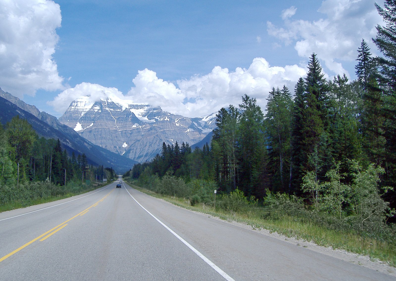
Highway 16 covers 352 km between Prince George and the Alberta border at Yellowhead Pass. Two towns sit on that stretch: McBride at the 213 km mark and Tête Jaune Cache at 275 km. Past Tête Jaune Cache, the highway runs 77 km through Mount Robson Provincial Park to the border with no town on the BC side. A 4×4 Ram 1500 covers that gap the same way in July as it does in January. A loaded semi doesn’t.
352 Kilometres, Two Real Towns
McBride sits 213 km east of Prince George, the last town of any size before the highway climbs toward the pass. Tête Jaune Cache follows 62 km later at the 275 km mark, where Highway 5 splits south toward Valemount (84 km down that spur) and eventually Blue River and Kamloops. Past Tête Jaune Cache, Highway 16 enters Mount Robson Provincial Park and runs the remaining 77 km to the Alberta border with no fuel, no cell coverage in most sections, and no town until Jasper. A dispatcher routing a job through this corridor is planning around two service points in 352 km, not the usual string of truck stops shippers expect on Highway 1 or the Coquihalla.
The Lowest Pass in the Rockies Still Turns Weather Fast
Yellowhead Pass sits at 1,131 m — the lowest highway crossing of the Canadian Rockies, and gentler than Rogers Pass or Kicking Horse Pass. Railway surveyor Sandford Fleming recommended this route for the Canadian Pacific Railway in the 1870s specifically because of its easier grade; the CPR built through the steeper Kicking Horse Pass instead in 1886. The lower elevation doesn’t buy calm weather. Pacific systems still move fast enough through this stretch to drop snow with little warning, and BC’s mandatory chain-up rule applies here the same as any other mountain highway: commercial vehicles from 5,000 kg up to 11,794 kg LGVW need chains or winter-rated tires, and anything over 11,794 kg LGVW has to carry steel chains, from October 1 to April 30. A semi caught chaining up on the shoulder in falling snow blocks the only lane available on a two-lane highway for as long as it takes. A 4×4 half-ton running winter-rated tires clears the requirement without stopping.
What’s Actually Shipping Through Prince George
Prince George runs on a forestry and manufacturing base — lumber mills, pulp mills, a paper mill, and the secondary manufacturers built around them, sitting at the confluence of the Fraser and Nechako Rivers with road, rail, and air links running out in every direction. That base is shifting, not static: Canfor announced the permanent closure of its Northwood pulp mill in Prince George in July 2026, cutting 300 jobs from the city’s mill workforce. The mills still running don’t get slack from that closure — a down piece of processing equipment at a remaining lumber or pulp operation still stops a line, and it doesn’t wait for a scheduled LTL run through a Prince George cross-dock to get the replacement part moving.
The HOS Trap Semis Can’t Avoid Out Here
A 352 km corridor with two service points is exactly the kind of stretch that eats a semi driver’s clock. If a chain-up delay or a highway incident near the pass adds two or three hours mid-run, an ELD-bound driver can burn into mandatory rest with no legal place to reset between McBride and the Alberta border. A half-ton hotshot running under the federal 4,500 kg GVWR/GCWR threshold for extra-provincial ELD rules isn’t forced into that math — no logged clock, no mandatory shutdown triggered by a weather delay in the middle of nowhere.
Canyon Runner Hotshot dispatches out of the Lower Mainland for runs like this: one truck, one load, direct from pickup to the job site. When a part has to reach Prince George or anywhere further out along that 352 km stretch to the Alberta border, that’s a dedicated-truck call out of the Lower Mainland, not a courier booking.
Thumbnail photo: “Highway 16 (Yellowhead Highway) through Mount Robson Provincial Park” by Colin Keigher, via Wikimedia Commons, licensed under CC BY-SA 3.0.
_while_passing_through_Mt._Robson_Provincial_Park.jpg)