
Highway 5 is the direct way east from the Lower Mainland. Hope to Merritt to Kamloops, a shade over two hours on twinned freeway. When it shuts, and it does shut, one paved alternative keeps a truck moving toward Kamloops: Highway 1 through the Fraser Canyon. Hope, Yale, Boston Bar, Lytton, Spences Bridge, Cache Creek. It is not a shortcut. It is the fallback, and a dispatcher needs the real numbers on it before quoting a reroute, not a guess.
Two roads, one starting point
Every eastbound Canyon Runner load out of the Lower Mainland passes through Hope first. From there a driver has two ways east: the Coquihalla freeway, Highway 5, through Merritt, or the older two-lane Highway 1 through the canyon. Both roads reach Kamloops. Only one of them was built for speed.
The reasons the Coquihalla shuts down are their own story — Snowshed Protocol closures, a chain-up gone wrong at Box Canyon, a pileup at Larson Hill. Canyon Runner covers those in a Coquihalla-specific post, linked below. This post starts from the point where the Coq is already down. It asks what happens next.
The canyon route, segment by segment
Hope to Cache Creek on Highway 1 runs 193 kilometres. The road passes through Yale, Boston Bar, Lytton and Spences Bridge. Non-stop, it takes about 2 hours 39 minutes. Cache Creek to Kamloops adds another 84 kilometres on Highway 1 and Highway 97, roughly 1 hour 7 minutes. Hope to Kamloops through the canyon totals 277 kilometres and about 3 hours 46 minutes.
Hope to Kamloops on the Coquihalla is 204 kilometres, about 2 hours 15 minutes. The canyon route runs roughly 73 kilometres longer. It adds about 90 minutes to the same trip. That gap is the real price of a Coquihalla closure. It is a fixed number a dispatcher can quote, not a guess.
Why the canyon runs slower
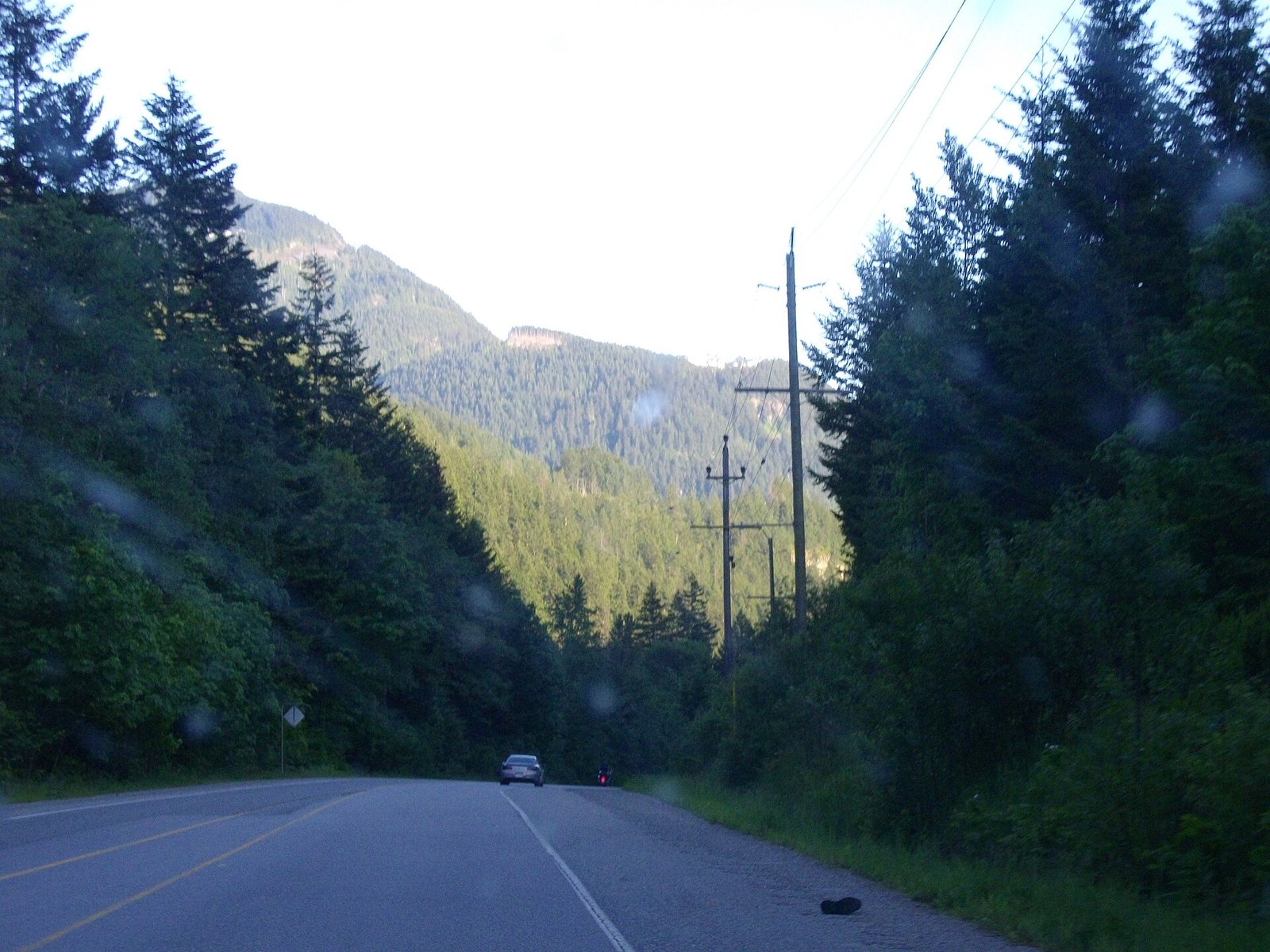
The extra time is not padding. Highway 1 through the canyon is a two-lane road for most of its length. It follows the Fraser and Thompson rivers through rock cuts and tunnels, with a lower posted speed limit than the four-lane Coquihalla. Two of the corridor’s flood-damaged crossings, the Falls Creek bridge at Jackass Mountain and the Nicomen River bridge, ran on single-lane pilot-car traffic for years. That followed the November 2021 flood. Both reopened to full two-lane traffic in 2024 and are now permanent structures. Even so, the highway still narrows and curves repeatedly in a way the Coquihalla’s divided freeway does not.
A history of closing, not just slowing
The dependency runs both directions. Neither highway is a guaranteed backup for the other. In November 2021, an atmospheric river damaged the Coquihalla and Highway 1 at the same time. Eighteen separate sites were damaged on Highway 1 between Hope and Spences Bridge alone. The canyon route did not fully reopen until January 24, 2022, more than two months later.
A rockslide near Anderson Creek, south of Boston Bar, closed Highway 1 in both directions in December 2019. That one reopened the same morning, by 11:30 a.m. In July 2026, the Brunswick Creek Complex wildfire burned close to 29,000 hectares and closed Highway 1 near Boston Bar. The Coquihalla stayed open that time as the only through route — the opposite problem, canyon shut, Coq carrying the load. Check both corridors on DriveBC before committing a driver to either one.
The ground has always moved here
The instability is not new. In 1914, rock blasted loose during Canadian Northern Railway tunnel construction slid into the Fraser River at Hell’s Gate. It narrowed the channel and sped up the current enough to block the upstream salmon run. The 1913 run had produced an estimated 2.4 million fish. By 1917, that had fallen under 560,000. Fishways to get salmon past the obstruction were not built until 1944 to 1946. Canada and the United States split a bill of roughly 1.47 million dollars. Highway 1 runs through the same canyon walls, above that same stretch of river.
Chains, tires and two different weight lines
BC’s mandatory winter tire and chain rule for commercial vehicles runs October 1 to April 30, outside Greater Vancouver and Victoria. It applies on both corridors equally. Trucks between 5,000 and 11,794 kilograms licensed GVW need chains or tires carrying the three-peaked mountain and snowflake symbol. Anything at or above 11,794 kilograms needs steel chains on board, full stop. A Ram 1500 hotshot rig runs well under that 5,000-kilogram floor. The mandatory chain law does not touch it on either route. Good winter tires still matter. They just are not a legal requirement the way they are for a loaded tractor-trailer.
That 5,000-kilogram chain-up floor is a separate rule from the 5,500-kilogram licensed GVW line. That second line exempts light trucks from BC’s spring load restrictions and from mandatory weigh-scale reporting. Two different rules, two different numbers. Confirm which one applies before assuming either does.
What both routes share before they split
Every truck headed east out of Hope passes the same inspection stations first, no matter which highway comes next: Hunter Creek, Laidlaw and Haig, all clustered around Hope. A commercial vehicle already checked through that cluster does not get re-weighed for choosing the canyon over the Coquihalla. The routes split east of Hope, after the scales, not before them.
How a dispatcher actually makes the call
The decision is never a flat closed-versus-open comparison. A scheduled avalanche-control closure on the Coquihalla, typically four to six hours, is a different problem than a rockslide with no cleanup estimate. Waiting out a known four-hour closure usually costs less driver clock than adding 90 minutes each way through the canyon. An open-ended closure changes that math fast. The canyon’s extra 90 minutes beats an unknown wait almost every time.
If a load is already running against a delivery window, the extra canyon miles eat into the same hours-of-service clock a Coquihalla wait would. Either way, a driver who runs out of available hours has to take a mandatory rest. That turns into Canyon Runner’s layover rate, a flat $375, not a discretionary fee. Detention at pickup or delivery runs $140 an hour after a 30-minute grace period at each end, tracked separately. Any cargo caught up in a routing failure falls under our standard $2.00-per-pound cargo liability. None of that is a penalty for choosing the canyon. It is what happens to any load caught by either route closing, priced the same way no matter which highway failed.
Before you count on the canyon as backup
Confirm Highway 1 is open at Boston Bar and Lytton on DriveBC before assuming it as a fallback. Wildfire and rockslide closures hit this corridor too. 2021 proved both routes can go down in the same week.
Ask a carrier’s dispatcher what they check first when the Coq goes down. Get a straight answer: the Coquihalla’s posted reopening estimate, the canyon’s live status on DriveBC, or both. A dispatcher who only watches one corridor is guessing on the other.
Get a number for what a reroute costs before the truck leaves the yard, not a reassurance after it needs one. Canyon Runner works that number out in advance, on every corridor with a real alternate.
Thumbnail photo: Highway 1 through the Fraser Canyon between Hope and Yale, by Andybremner2012, via Wikimedia Commons, licensed under CC BY-SA 3.0.